NewTopo - Mt Arthur, Cobb Valley Topo Map
Your must have tramping accessory.
![]()
Overview
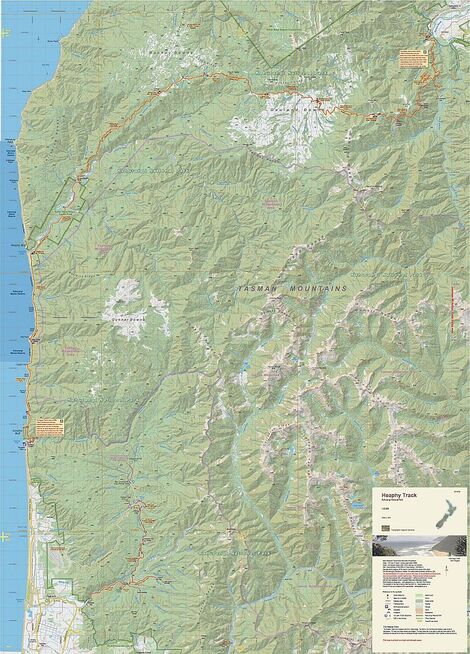
Between the Heaphy and Abel Tasman lies an area of mountains that provide both easy access for families and beginners and also back-country challenges for more experienced trampers.
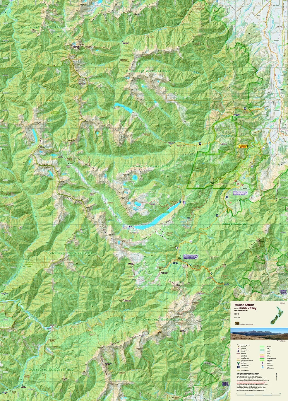
The map covers from Boulder Lake in the north to the Baton Saddle in the south, and from the Aorere and Karamea Rivers in the west to the Takaka Valley in the East, including the popular Mount Arthur Tablelands and the Cobb Valley in Kahurangi National Park.
Edition 3 2020. Scale 1:55 000
Technical Specs
- Large format 600x840mm
- Folded to 120x210mm
- 20m contours
- 1km grid
- 10 minute geographic graticule
- New Zealand Transverse Mercator projection
- Printed on 94gsm high wet strength paper
Product Information
Product Information
Shipping & Returns
Shipping & Returns
Description
Your must have tramping accessory.
![]()
Overview
Between the Heaphy and Abel Tasman lies an area of mountains that provide both easy access for families and beginners and also back-country challenges for more experienced trampers.
The map covers from Boulder Lake in the north to the Baton Saddle in the south, and from the Aorere and Karamea Rivers in the west to the Takaka Valley in the East, including the popular Mount Arthur Tablelands and the Cobb Valley in Kahurangi National Park.
Edition 3 2020. Scale 1:55 000
Technical Specs
- Large format 600x840mm
- Folded to 120x210mm
- 20m contours
- 1km grid
- 10 minute geographic graticule
- New Zealand Transverse Mercator projection
- Printed on 94gsm high wet strength paper